
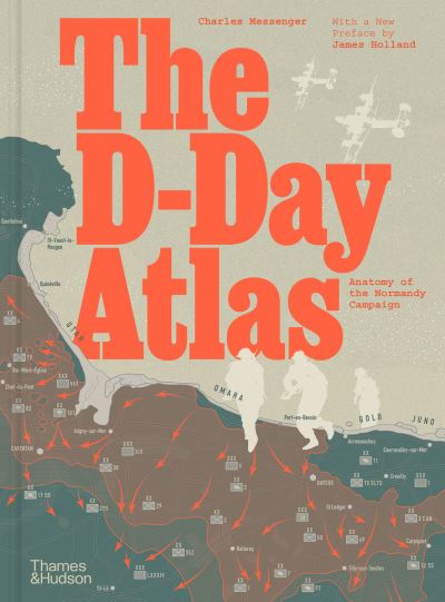
The D-Day atlas
€30.00
This study of D-Day and the subsequent campaign charts the gradual evolution of the invasion plan, encompassing the intelligence efforts, the Anglo-US strategic debate over where the Allies should attack, and the elaborate deception put in place to fool the Germans about the true D-Day objective.
In stock
Ships in 24h
Across Ireland
Click & Collect
Free in Wicklow
Easy returns
Within 30 days
Secure checkout
Stripe protected
A vivid re-creation of the D-Day invasion and its aftermath, told through detailed maps, authoritative text by a noted military historian and contemporary photographs.
This powerful study chronicles the evolution of the invasion plan and culminates in a day-by-day account of the landings by sea and by air on the Normandy beaches, followed by the grim six-week struggle to break through the German defences. An important feature is the space devoted to the German point of view, based on the latest archival research, and the organization of the French Resistance in northern and western France.
At the heart of the book are 71 maps in full colour, many drawing in detail on those used by the Allies in 1944. Specially commissioned reconstruction drawings and contemporary photographs help bring the beaches and bocage of Normandy to life.
Additional information
| Weight | 1080 g |
|---|---|
| Dimensions | 29.2 × 30.1 × 2 cm |
| Book_author | Messenger, Charles |
| Publisher | Thames and Hudson |
| Imprint | Thames and Hudson |
| Cover | Hardback |
| Pages | 176 |
| Language | English |
| Dewey | 940.542142 (edition:23) |
| Readership | General – Trade / Code: K |