Comprehensive road atlas Ireland
€12.25
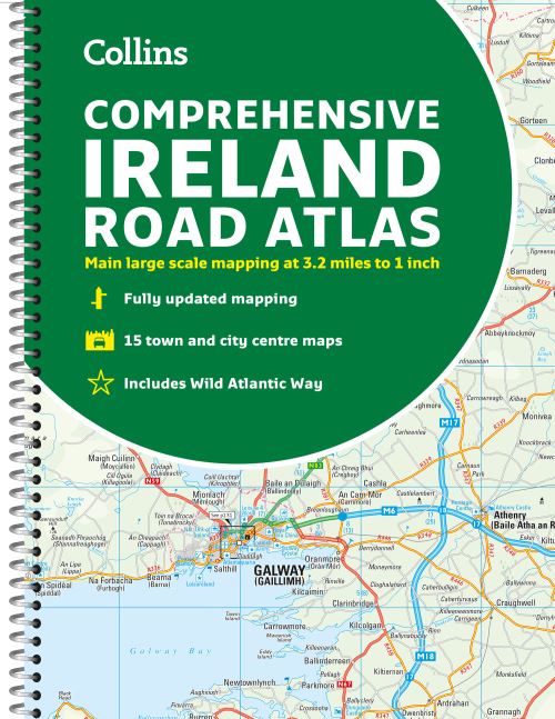
Clear, detailed road atlas of Ireland in a handy A4 spiral-bound format.
Ships in 24h
Across Ireland
Click & Collect
Free in Wicklow
Easy returns
Within 30 days
Secure checkout
Stripe protected
Clear, detailed road atlas of Ireland in a handy A4 spiral-bound format.
This comprehensive, general purpose road atlas is ideal for both business and pleasure.
Highlights include:
- Clear mapping at a scale of 3.2 miles to 1 inch, which is useful for navigation
- An additional 9 miles to 1 inch route planning map
- Places of interest section with information and photographs
- A range of fully indexed town and city centre maps, including: Bangor, Belfast, Cork, Dublin, Limerick, Lisburn, Londonderry (Derry) and Newtownabbey
This updated edition boasts road mapping packed with detail. There is a colour classified road network that also shows toll roads. Blue Flag and Green Coast beaches are shown along with tourist information centres and a wide range of tourist attractions. There is also comprehensive information for visitors to Belfast, Cork, Dublin and Limerick.
The perfect companion for anyone visiting Ireland.
Additional information
| Weight | 480 g |
|---|---|
| Dimensions | 29.7 × 21.5 × 0.8 cm |
| Book_author | Collins, Maps, |
| Publisher | Collins |
| Imprint | Collins |
| Cover | Other |
| Pages | 1 atlas (160 ) |
| Language | English |
| Edition | New edition |
| Dewey | 912.415 (edition:23) |
| Readership | General – Trade / Code: K |