Children’s Illustrated History Atlas
€15.58
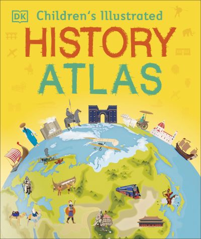
Bring history to life with more than 40 colourful maps in this children’s atlas full of fascinating nuggets of information about our past. This history atlas helps children learn about world history all the way from the first people leaving Africa right up to how the world looks now, with a modern world map.
In stock
Ships in 24h
Across Ireland
Click & Collect
Free in Wicklow
Easy returns
Within 30 days
Secure checkout
Stripe protected
Bring history to life with more than 40 colourful maps in this children's atlas full of fascinating nuggets of information about our past.
This beautiful history atlas helps children learn about world history all the way from the first people leaving Africa right up to how the world looks now, with a modern world map. Journey around the world as you learn its history, with maps showing everything from the awe-inspiring Great Wall of China to the when and how of the US Civil War.
Children are shown how to read a map and how to use a key, compass, and scale. Each map is bursting with information, such as how big the Roman Empire was, how explorers made incredible journeys around the world, and when humans first travelled into space. Children's Illustrated History Atlas is an essential addition to every child's library.
Young history buffs will love this time-travelling adventure.
Additional information
| Weight | 854 g |
|---|---|
| Dimensions | 30.9 × 26 × 1.3 cm |
| Book_author | Adams, Simon |
| Publisher | Dorling Kindersley Limited |
| Imprint | Dorling Kindersley Limited |
| Cover | Hardback |
| Pages | 96 |
| Language | English |
| Dewey | 911 (edition:23) |
| Readership | Children – juvenile / Code: J |