
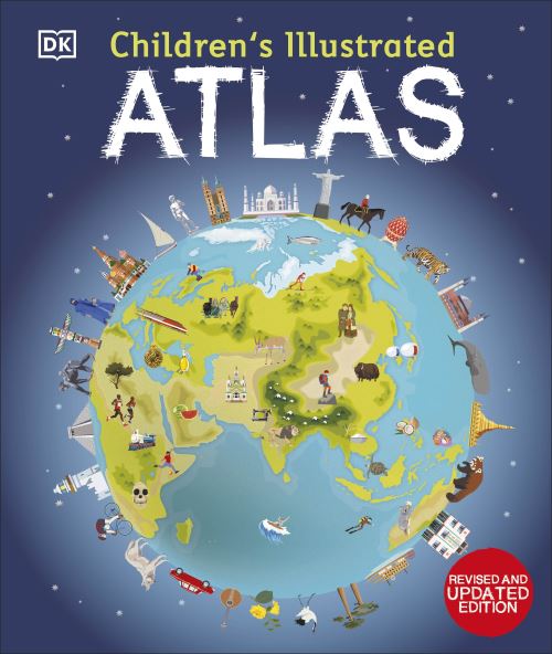
Children’s illustrated atlas
€17.98
This illustrated atlas brings geography to life; packed with more than 50 colourful maps for kids and fascinating facts about the countries of the world. Each map is bursting with information, such as climates, populations, famous sites, mountains and rivers, and natural wonders of the world.
Ships in 24h
Across Ireland
Click & Collect
Free in Wicklow
Easy returns
Within 30 days
Secure checkout
Stripe protected
Set off on a thrilling journey around the world in this incredible atlas for kids - packed full of beautiful illustrations and photographs.
Discover the world map-by-map with this exciting world atlas book for children, featuring more than 50 maps! Each page is filled with fascinating information, facts and colourful illustrations of our world.
Children aged 7-9 will love to learn all about the many countries, cultures, people and animals of the world through vibrant maps. Each map is bursting with information, combining colourful icons with photographs representing key points about each country. The atlas also includes a world map poster, with a political map for each continent - and children are shown how to read a map and use a key, compass, and scale!
Inside the pages of this atlas book for children, you'll find:
- Information that supports the curriculum, with colourful icons and photographs that show people and places, animals, food, historical sites, industry, and habitats.
- More than 50 specially commissioned maps of the world featuring countries and continents in full-colour detail.
- Bite-sized facts and figures about each country making it easy for children to understand.
- Diagrams that compare climates, population, mountains and rivers, famous sites, and natural wonders of the world.
Children's Illustrated Atlas brings the world to life with vivid maps and fascinating facts about the countries of the world, making it the perfect gift for little geographers. This charming and informative book is a key addition to every child's library.
Additional information
| Weight | 1034 g |
|---|---|
| Dimensions | 30.9 × 26 × 1.4 cm |
| Book_author | Brooks, Andrew |
| Publisher | Dorling Kindersley Limited |
| Imprint | Dorling Kindersley Limited |
| Cover | Hardback |
| Pages | 128 |
| Language | English |
| Edition | Revised and updated Edition |
| Dewey | 912 (edition:23) |
| Readership | Children – juvenile / Code: J |