
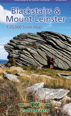
Blackstairs & Mount Leinster
€14.50
Definitive detailed map at 1:25,000 scale covering the Blackstairs & Mount Leinster range from Borris to Bunclody and Clonegal to St.Mullin’s.
Produced to EastWest Mapping’s 25Series standard, this general topographic map has a 5 metre contour interval for fine navigation. Signposted walking trails are depicted. The finest and most detailed map of the region.
Ships in 24h
Across Ireland
Click & Collect
Free in Wicklow
Easy returns
Within 30 days
Secure checkout
Stripe protected
Definitive detailed map at 1:25,000 scale covering the Blackstairs & Mount Leinster range from Borris to Bunclody and Clonegal to St.Mullin’s.
Produced to EastWest Mapping's 25Series standard, this general topographic map has a 5 metre contour interval for fine navigation. Signposted walking trails are depicted. The finest and most detailed map of the region.
Printed on good quality Progeo 90gsm map paper. The map sheet measures 1125mm x 820mm, covering 550 sq kilometres and is folded down to 125mm x 205mm.
Additional information
| Weight | 201 g |
|---|---|
| Book_author | Mapping, EastWest |
| Cover | Paperback |